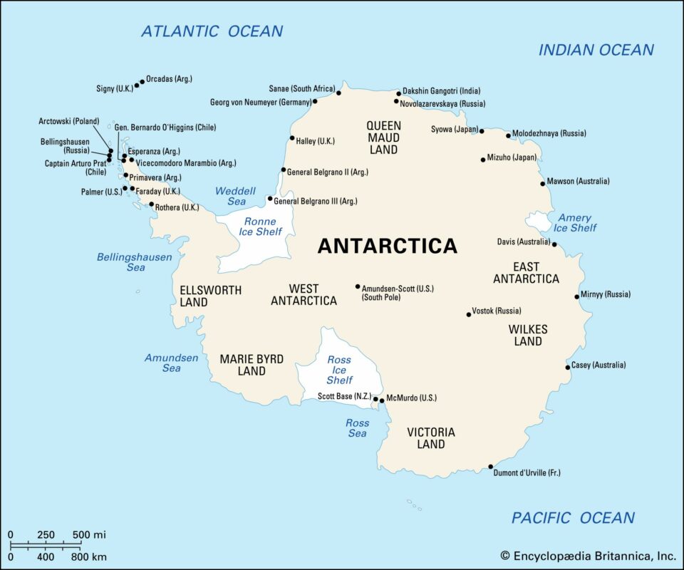
Maps of Antarctica date back to the days of Roman geographer and astronomer Ptolemy, most of them widely creative but inaccurate until the 19th century. Today, the average person can zoom across Antarctica with Google Earth. And the imagery is only getting better.
Mapping Antarctica