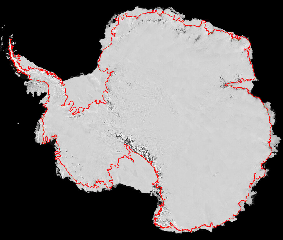
An international team of scientists used high-resolution satellite imagery to trace the most accurate map to date of Antarctica’s grounding line, which is a key step in helping determine how much of the continent’s ice is contributing to sea-level rise.
Traced from Space