23.4 C
New York
July 1, 2025
Ice and Snow news

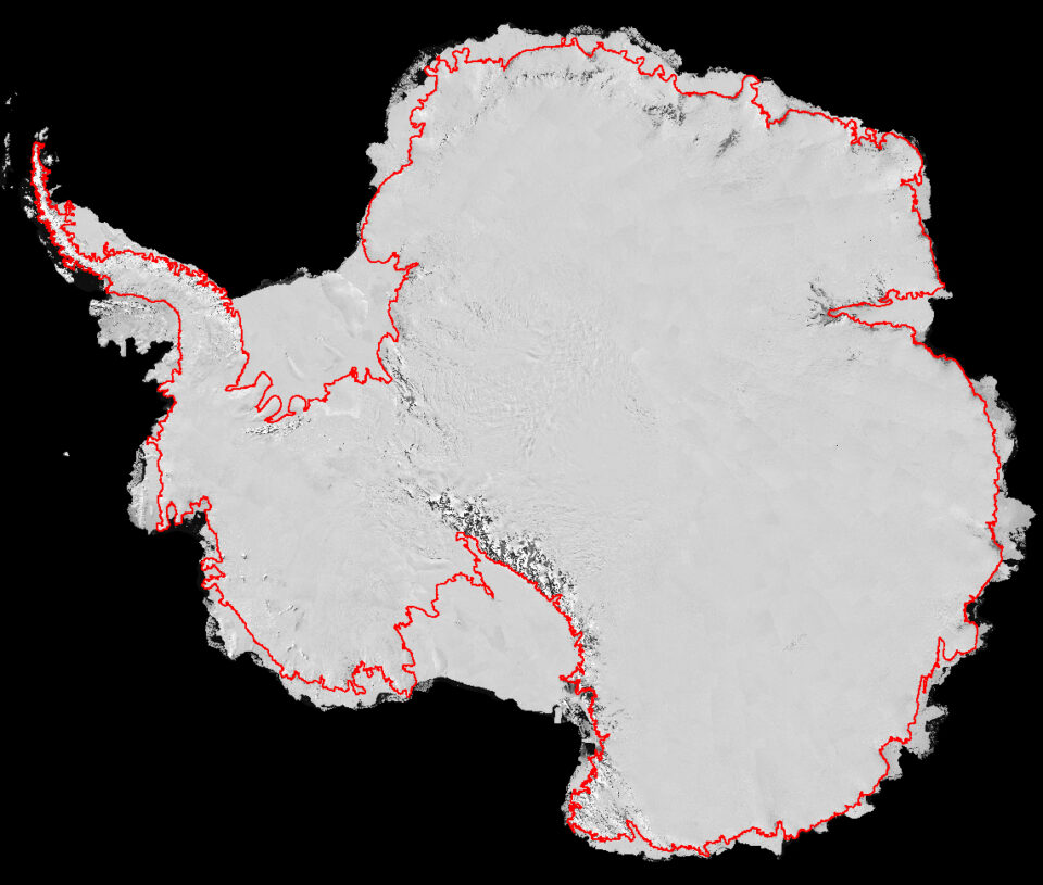
Traced from Space

Traced from Space
An international team of scientists used high-resolution satellite imagery to trace the most accurate map to date of Antarctica’s grounding line, which is a key step in helping determine how much of the continent’s ice is contributing to sea-level rise.

Related posts

2012-2013 Research Season Begins

TheWorldsNews

Under Threat: Ocean Acidification

TheWorldsNews

Bounds of Biodiversity

TheWorldsNews

Pin It on Pinterest

Share This